
August 2026 Solar Eclipse Visibility Map
关于这幅 Solar Eclipse Map Illustration
进一步了解这张图像的主题、风格与细节。
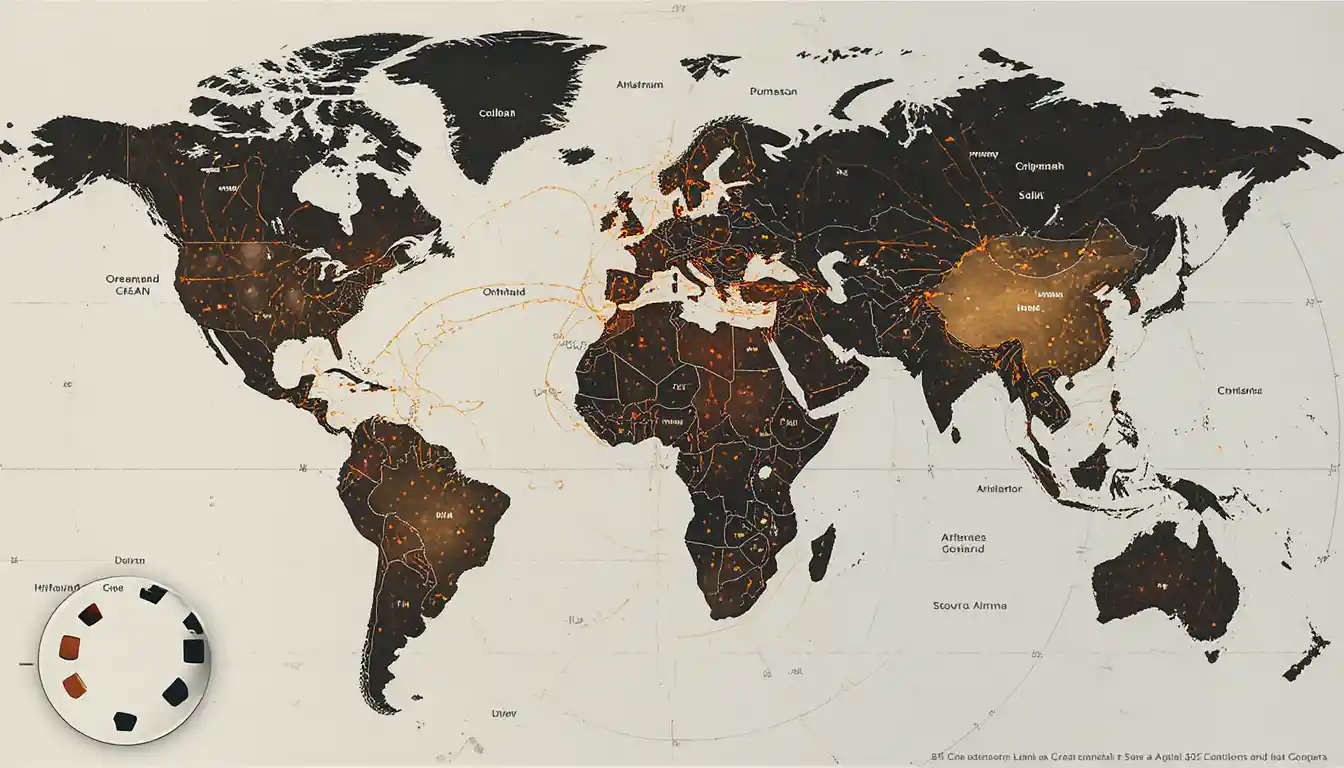
The artwork centers on a realistic world map showing the August 2026 solar eclipse visibility path. The route spans Europe, Greenland, Iceland, northern Africa and the Atlantic Ocean, presenting the geographic reach of the event in an educational infographic concept.
Its map-based infographic style gives the subject a clear, educational feel. The concept could support an astronomy classroom poster or a reference graphic for an eclipse viewing guide for learners.
创作风格与细节
赋予这件作品独特观感的细节。
Subject
The central subject is the visibility path of the August 2026 solar eclipse, shown across a world map.
Visual Style
A realistic map treatment meets an educational infographic approach, making geographic information the focus.
Scene & Setting
The mapped regions include Europe, Greenland, Iceland, northern Africa and the Atlantic Ocean.
Composition
The concept uses a wide 16:9 layout, with the map providing space to show the eclipse path across regions.
创作你自己的 Solar Eclipse Map Illustration
以这件作品的视觉想法为起点,为场景加入你自己的方向。
基于这件作品的 AI 建议。
Related images