Ladevorgang...

NOVO TEMPO, NOVO AMANHÃ 2024
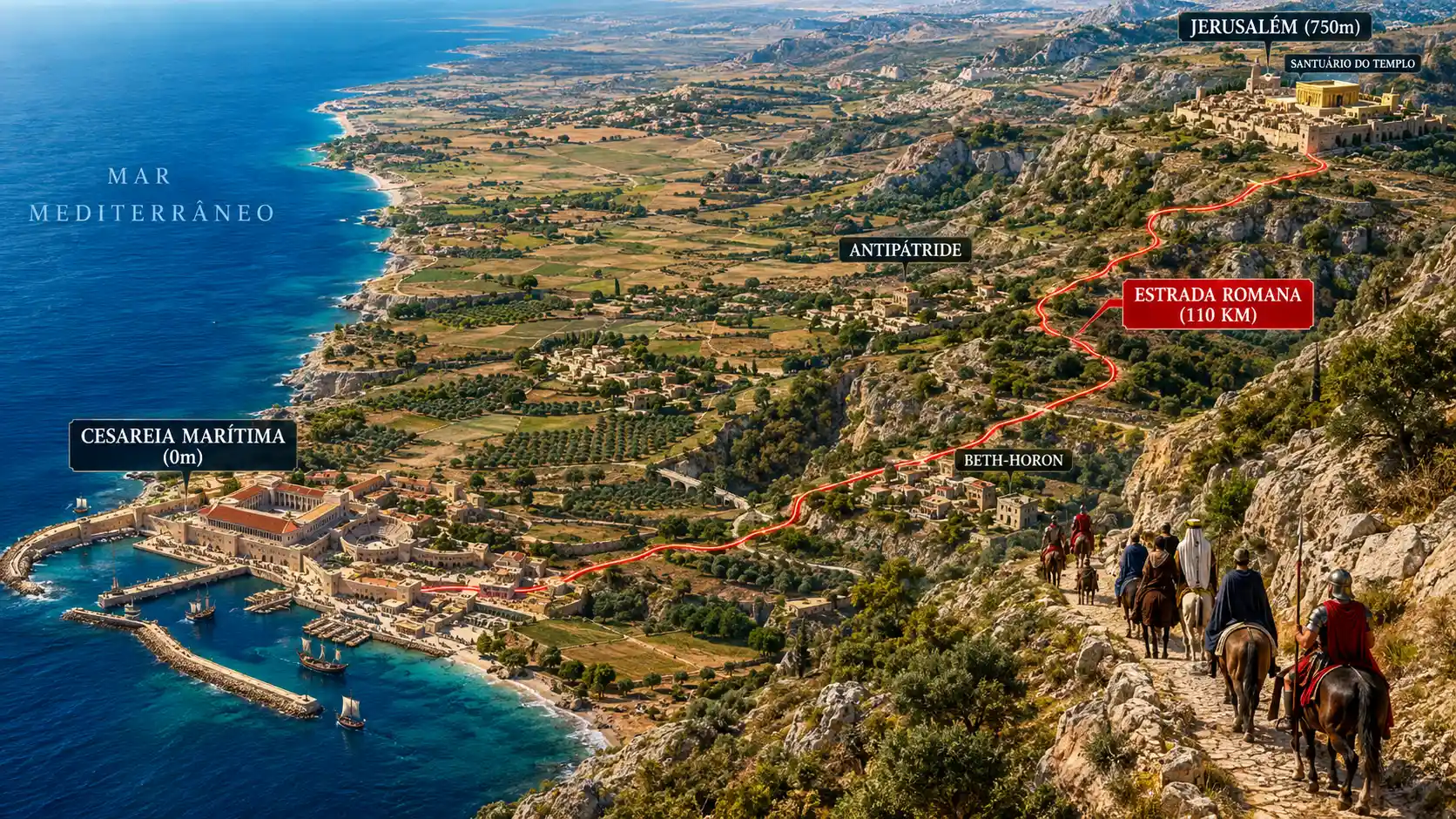
Eine 3D-Reliefkarte zeichnet eine antike Route durch das römische Judäa nach
Eingabeaufforderung
A high-resolution 3D aerial topographic map and visual relief illustration depicting the 1st-century Roman Judea landscape and the 110 km route from Jerusalem down to Caesarea Maritima. Bird's-eye panoramic aerial view from an altitude of 500 meters, looking northwest from the Judean mountains down toward the Mediterranean coast. On the far right, atop the Judean hills at 750 meters altitude, Mount Moriah stands with King Herod's golden Temple in Jerusalem. A prominent, glowing dense red line marks the ancient Roman military road curving steeply down through limestone cliffs, terraces of olive trees, and dry valleys, passing through 1st-century towns like Beth-Horon, Lydda, and Antipatris on the Sharon plain, all the way to the coastal city of Caesarea Maritima, where the governor's grand Praetorium palace, theater, and harbor sit at sea level (0m) beside the deep blue Mediterranean Sea. On the winding road, a small 1st-century delegation of Jewish elders, high priest Ananias, and the orator Tertullus are visible riding mounted horses and mules with Roman guards. Crisp 3D terrain elevation rendering, realistic vegetation, photorealistic textures of olive groves, limestone, ancient stone roads, and sea water. Clear cartographic text labels in Portuguese: 'JERUSALÉM (750m)', 'SANTUÁRIO DO TEMPLO', 'ESTRADA ROMANA (110 KM)', 'ANTIPÁTRIDE', 'CESAREIA MARÍTIMA (0m)', 'MAR MEDITERRÂNEO'. Cinematic lighting, 8k resolution, highly detailed cartographic 3D relief visual, 35mm lens, f/2.8.
Model
GPT-Image-2
Date created
11/20/26 at 9:17 AM
Seed
313793732
Guidance Scale
7.5
Resolution
1672 x 940
Related images