Loading...

Oleg Varlamoff
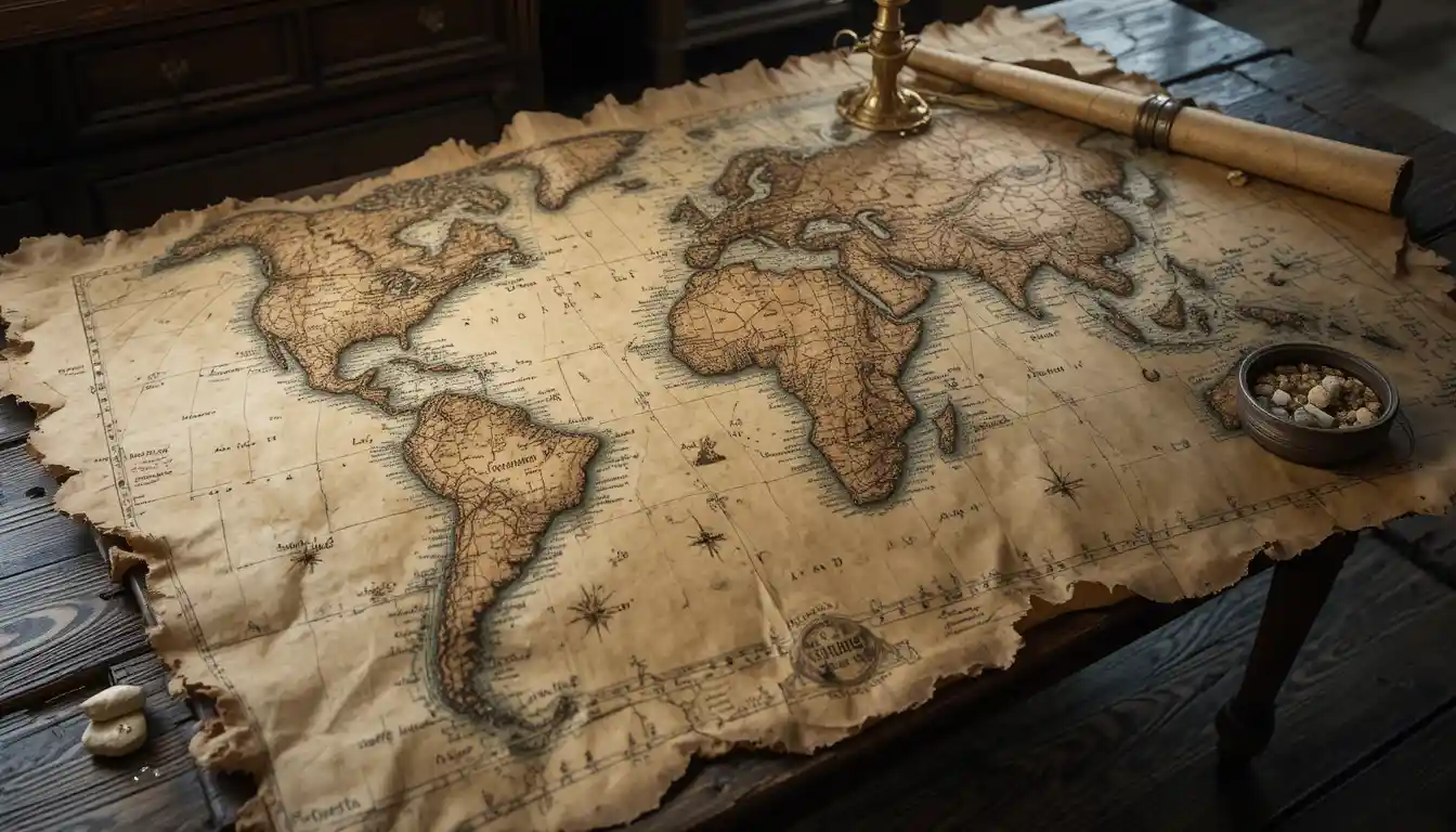
Ancient map with living rivers spread across a wooden table
Prompt
an ancient, yellowed map unfurled across a scarred oak table, its frayed edges curling like dried leaves, the faded ink of mountain ranges and city names barely legible—except where the cartographer’s rivers *move*. These are not drawn: they are real water, shimmering under the flicker of oil lamps, cutting through parchment canyons in capillary-thin currents that spill over the map’s borders in delicate, gravity-defying waterfalls, pooling silently on the floorboards below. The oceans are alive with miniature storms—tiny galleons, their sails taut with unseen winds, tack through waves no taller than a thumb’s width, their crews (pepper-grain-sized) shouting soundless orders as they navigate around the inked kraken lurking beneath the surface. At the map’s edge, the compass rose rotates with a whisper, its needle trembling toward something *new*—a freshly inked landmass that wasn’t there yesterday, its coastlines still glistening wet, as if the map itself is *growing*. Beneath the table, a single drop of saltwater falls from the map’s southern sea, and where it hits the wood, a sapling—impossibly—begins to sprout.
Model
PicLumen Art V1
Date created
04/24/26 at 8:14 PM
Seed
284873453
Guidance Scale
1
Resolution
1344 x 768 (16:9)
Related images